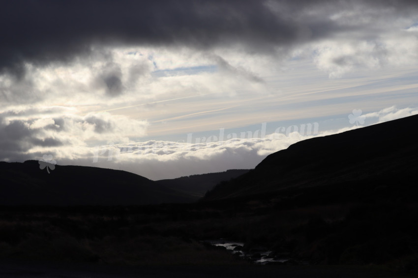
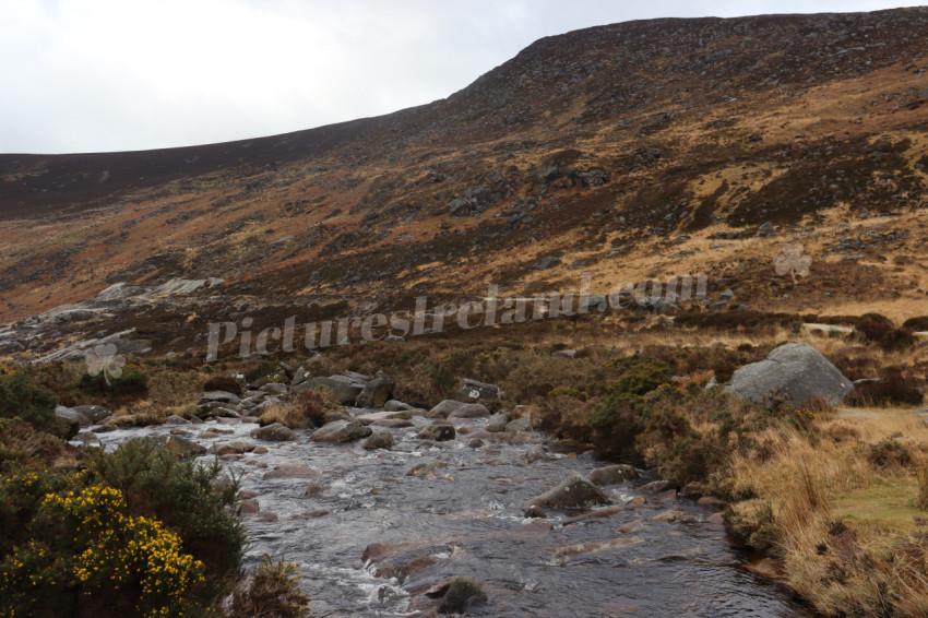
Wicklow Mountains Ireland
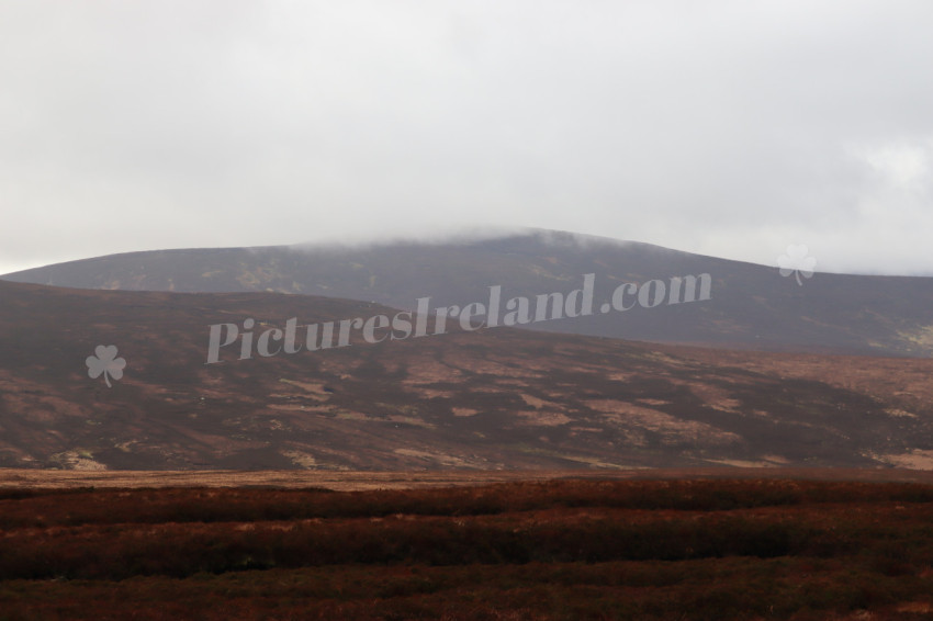
The Wicklow Mountains, also known as the Sléibhte Chill Mhantáin in Irish, are a mountain range that runs through the center of County Wicklow, Ireland. They are the largest continuous upland area in Ireland, with an unbroken area of over 500 km2 (190 sq mi) above 300 metres (980 ft). The highest peak is Lugnaquilla at 925 metres (3,035 feet). The Wicklow Mountains are a popular destination for hikers, walkers, and cyclists. There are many trails to choose from, ranging from easy to challenging. The mountains are also home to a number of lakes, including Lough Tay, Lough Dan, and Lough Bray. The Wicklow Mountains are also home to a number of historical and cultural sites, including Glendalough, a monastic settlement founded in the 6th century, and Powerscourt House and Gardens, a Palladian mansion with extensive gardens.
Tags
natural background countryside beautiful blue bush cloud clouds environment forest grass green hill hills hilly ireland ireland countryside ireland landscape irish landscape mountain mountains nature outdoor river scenery scenic sky summer tourism travel tree trees valley view water wicklow wicklow ireland wicklow mountains lake national park plants county wicklow irish mountains hillSimilar Photos


Picturesireland.com
3,320 Photos
-
310
-
0
-
0
Exif Data
Photo taken with Canon EOS 250D 55/1 f/8.0 1/1000 ISO 100- Details
- Photo #2190
- Published on Feb 07, 2024
- Photo type JPG
- Resolution 6000x4000
- Category Nature / Landscape...
- File size 4.3MB


